

Nerve-racking traffic jams are a way of life in Nairobi, the kind that makes you dread getting up for the long commute and dread going back home through another bumper-to-bumper ordeal.
Living in Umoja One estate, it can take you 30 to 45 minutes to get to the city centre, depending on the traffic on Jogoo Road.
Benson Njenga recalls a time in June 2019 when he was boarding a matatu at 9am, aiming to reach Valley Road by latest 10am in time for his CAT exams at Daystar University.
"All was smooth on the road until we got to Hamza and the traffic was unbearable so the matatu driver decided to use other routes within the estates. I remember being stuck in Majengo and looking at my watch, it was 9.45 am," he said.
The driver diverted and tried using Juja Road as they manoeuvered through Eastleigh estate. However, they got stuck at Kariokor as traffic intensified as they entered the CBD.
" I missed my exams that day and there was no retake, so I had to put all my efforts in my final end of semester exams," he said.
Ashley Nandy, resident of Fedha estate and working in Westlands, says if one wants to be at the office by 8am with a personal car or matatu, they are forced to leave the house at 6am to avoid being caught in traffic.
"It's worse in the evening if you can't leave the Central Business District before 5pm or 5.30pm. You're in for a long journey, taking as long as two hours, not forgetting the hike of bus fare by at least Sh10-Sh30," she said.

We have realised Nairobi traffic cannot be reduced by constructing more roads. We have to introduce traffic management
SECOND-WORST JAM
According to a 2017 report from Numbeo, a website that collects user-contributed data about cities and countries worldwide, Nairobi was ranked second in the world among cities with the worst traffic jams.
Mumbai was ranked first with Pune, also in India, in third position. Cairo followed at fourth, then Kolkata City, Miami, Tehran, Recife, Pretoria and Manila.
In 2019, the Population and Housing Census said Nairobi county had 4.3 million residents, its population growing daily and more vehicles pouring onto the roads.
The National Transport Safety Authority registers at least 7,000 motor vehicles monthly in Nairobi and 90,000 cars yearly 2020, 1.35 motor vehicles are expected.
The roads in Nairobi carry more than 60 per cent of more than two million registered vehicles, resulting in tangles of traffic stretching for miles.
In 2019, The World Bank estimated that traffic jams cost the economy Sh50 million in lost productivity a day. This translates to more than Sh17 billion a year.
Because of these grim statistics, the Kenya Urban Roads Authority is planning to end the traffic nightmare, and technology will play a big role.
In an interview with the Star, Kura director general Silas Kinoti said congestion can be solved by technology in the form of an Intelligent Traffic System (ITS)
“We have realised Nairobi traffic cannot be reduced by constructing more roads. We have to introduce traffic management, thus moving away from road construction to transportation management," he said.
ITS applies information and communication technologies in managing road transport and infrastructure. It manages usage.
The system uses surveillance cameras, traffic flow cameras, variable timing traffic lights depending on traffic flow, and a control centre to monitor and manage traffic.
The system will enhance traffic efficiency and flow in the capital that mainly relies on traffic police to control and attempt to manage traffic.
A Sh1.4 billion ITS system, including a traffic control centre, was first piloted in December 2017 by Kura.
It was piloted on Ring Road from Westlands on seven major junctions, including at Riverside, Yaya Centre, Kilimani and Kileleshwa. The aim is to expand it to include many other junctions in future.
The project was part of the Nairobi Urban Transport Improvement Programme funded by the World Bank and the government.
Then Nairobi Traffic Police boss Leonard Katana said it would ease the role of traffic police and marshals who are overwhelmed.
“We have a lot of expectations when this system becomes a reality. With a control centre, we can monitor the city," he said.

TRAFFIC MANAGEMENT
DCI boss George Kinoti said ITS has three component systems: Advanced Traffic Management Advanced Travel Management and Advanced Traffic Information.
Advanced Traffic Management will signalise junctions to control traffic. Technology will identify vehicle [plates] and count vehicles in real-time.
“Through ITS, we will have cameras, signals and censors in all arms of the junctions. They will identify the junctions that have more traffic and will need more time for traffic to be put through the junction," Kinoti said.
"A junction with more traffic will be given 60 seconds instead of 45 for the junctions with fewer cars."
In 2017, Kura engineers went to Japan to benchmark how it uses ITS. As a result, Nairobi's pilot programme was rolled out.
Kura is an expert in ITS. An example is the Yaya Centre. Before ITS was introduced, many policemen had to control traffic. "But now there are no police," Kinoti said.
In November last year, President Uhuru Kenyatta called for the redesign and signalising of 25 new intersections, the setting up of 100 new road junctions and construction of a new traffic management control centre for a larger area.
“The control centre will utilise traffic cameras and censors and harmonise location data to provide a synchronised signal at 100 new junctions in addition to the existing traffic lights,” the President said.
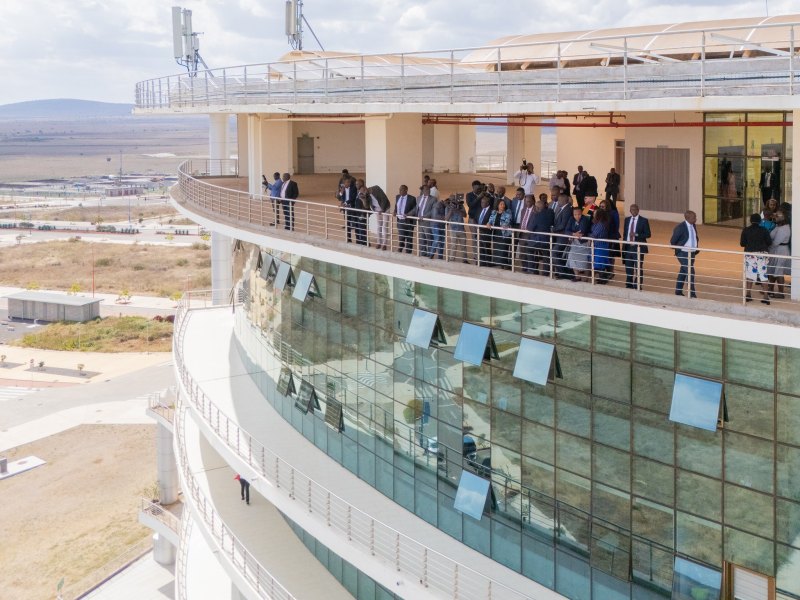
On February 15, Kura signed a Sh16 billion contract with the South Korea Export Import Bank for construction of the real-time Traffic Management Centre (TMC) and connection of 102 junctions.
Phase One will cost Sh6 billion to build the TMC and connect 25 junctions. In Phase Two, Kura will connect all remaining 77 junctions.
“The beauty in this is that though we call them Phase One and Two, they will be done concurrently," Kinoti said.
Due to procurement process, the project is set to begin in six months, giving Kura time to tender for contractors and consultants.
While setting up the new junctions, Kura will reconfigure the junctions. This means some roundabouts will be retained, removed or reduced in size, Kinoti said.
The system will be controlled from the Traffic Management Centre, which will collect, analyse and process all information about buses, routes, and numbers.
President Kenyatta in November last year directed Kura to build a real-time Traffic Management Centre at City Cabanas to ease congestion on key roads.
The centre will have a team of traffic engineers, system specialist, traffic police and county traffic controllers monitoring in real-time so they can make swift adjustments in signal time, for example.
Stakeholders include the police, NTSA, Nairobi Metropolitan Area (NaMATA), the ICT ministry and the Nairobi county government. They will be housed in the centre under one command for management.
Kura will construct the centre and be involved in the Advanced Management System monitoring junctions and collecting data.
Engineers will gather information; police will deal with crime and traffic violations; NaMATA and NTSA will deal with public transport. They will choose their commander, Kinoti said.
ROAD USERS' APP
The travel management part of ITS will send communications to commuters on bus routes and to car drivers.
The Traffic Management Centre with a bird's eye view will have mega screens for monitoring all roads.
"You can see what is happening all over the city, thus, we shall be sending advisory messages to commuters on which roads to use. This is what we call an advanced traffic information system,” Kinoti said.
An application will be developed specifically for only traffic and travel information.
“The app will be used by commuters. PSV owners will be able to display information on traffic and travel information only. Depending on the data, road users will be able to know which route to use, which to avoid and they can plan ahead,” Kinoti said.
Kura engineer Merin Koitalel said the app will advise the user where the heavy traffic is at a particular time based on historical data.
"If you are coming from point A and you are going to point B, you can be able to choose the route with the least traffic or travel time based on where you are going," he said.
Since Kura is continuously collecting information on mobility, the app will also be able to predict and tell the user what to expect at a particular road or route at a later time, such as rain, heavy traffic, an accident or road construction.
A driver can ask the app how long it takes to drive from A to B, starting the journey at 2pm.
"At the time of departure, it can now show real traffic information, for example, this road is congested, and give you an alternative," Koitalel said.
It will be similar to how Google Maps works.
Once developed, the app and its data will be integrated with the public transport and the commuter rail system.
The app will also be integrated in cars and will have the same capability of feeding the same traffic and route information.
This is what Kura calls the public information system, which will be one app integrated for the mobile phones, personal vehicles and public vehicles.
LONG-TERM SOLUTION
Screens will be set up at road junctions, displaying advisory messages, indicating which routes have heavy traffic and alternate routes where it is light.
The screens will be like digital billboards.
They will be permanently fixed along the travel corridor and carry specific traffic information.
"Once you are there, it will show you your location, the roads ahead of you, which one will be congested and which one you can take to avoid heavy traffic," Kinoti said.
For a long-term solution, however, Kura will set up a TV and radio station specifically for traffic alerts. In the medium term, a mobile application will be set up.
“This is happening in advanced cities worldwide, where they have TV and radio stations to monitor the roads, gather information and guide people. The mobile app will also provide traffic alerts," Kinoti said.
The management centre will also have an emergency unit of a fire brigade, rescue vehicles and ambulances that will handle distress calls.
By monitoring the mega screens, Kura will detect emergencies and communicate immediately to the necessary services.
“If it is fire, we send an alert to the nearest fire station. For health emergency, we can send an ambulance. And in case of road accidents, we can send police, rescue and ambulances. Will also advise motorists on which routes to avoid," Kinoti said.